Visit Search Results Page

2555 Results

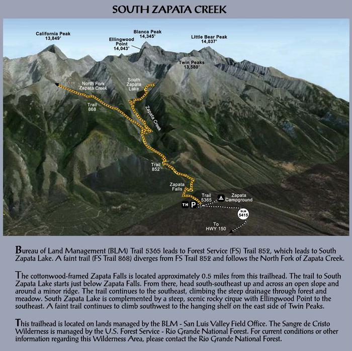
Zapata Falls Recreation Area Map & Info Zapata Falls Recreation Area Map & Info
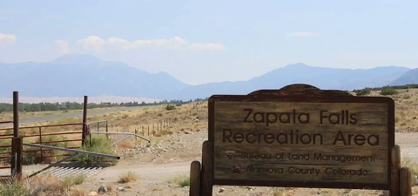
Overview A short drive up the gravel road that leads to the Bureau of Land Management’s Zapata Falls Campground (CG) will let visitors to the area see the San Luis Valley and Great Sand Dunes National Park & Preserve from...
Zapata Falls Zapata Falls
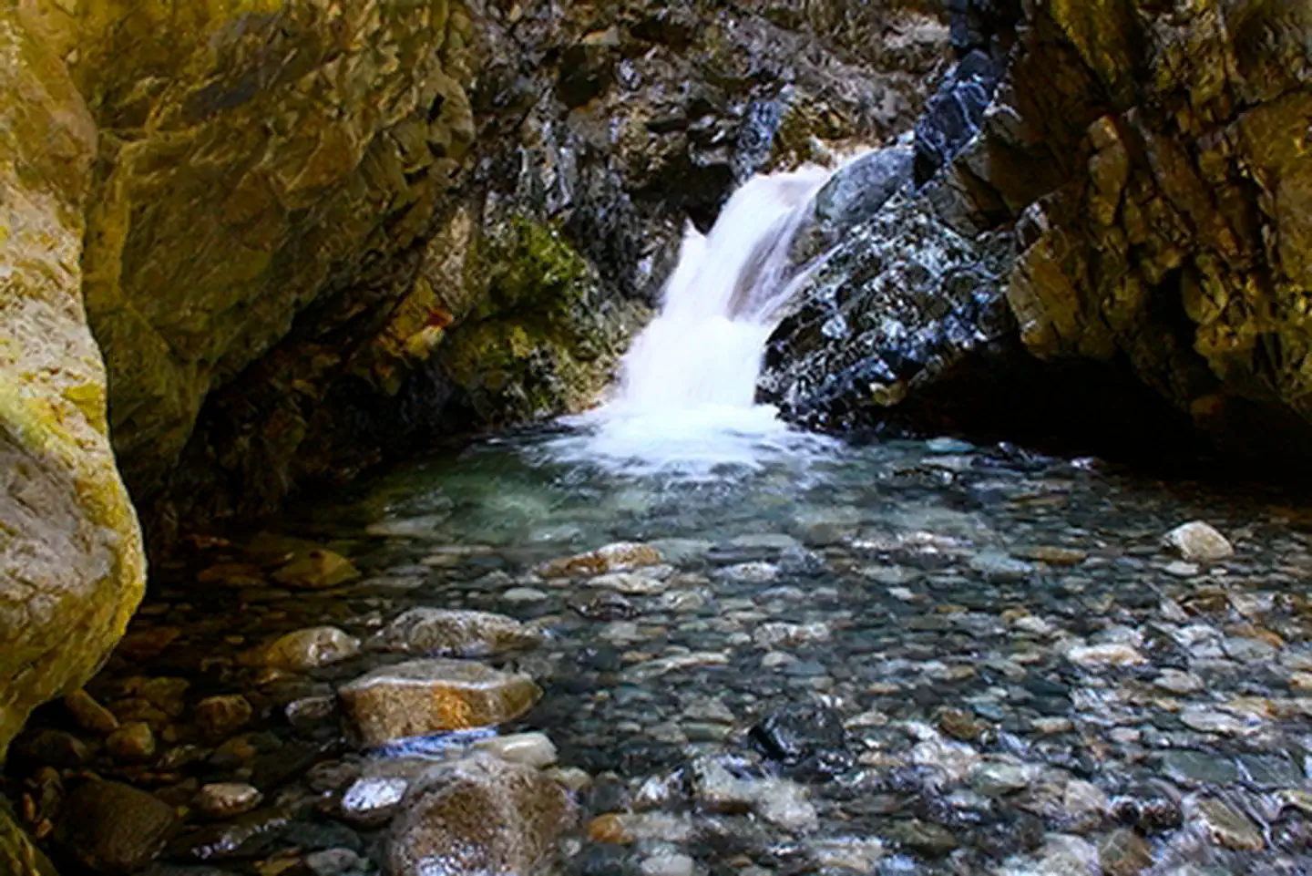
A short, yet slippery hike leads to the view of a 25-foot waterfall at Zapata Falls Recreation Area. During the summer months, the falls provide a cooling oasis, but during the winter months, the waterfall freezes into an enormous column...
Zapata Falls Recreation Area Zapata Falls Recreation Area
Zapata Falls is a waterfall located near the base of the Sangre de Cristo Mountains on Bureau of Land Management land adjacent to Rio Grande National Forest and south of Great Sand Dunes National Park. The falls has a drop...
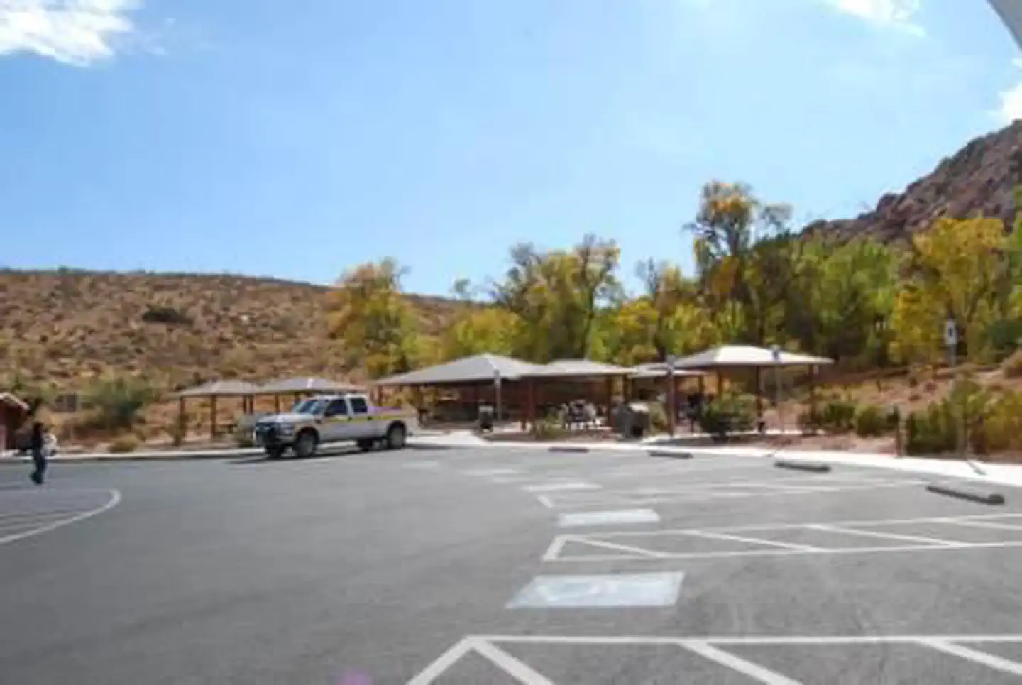
Red Spring group Picnic Area 1 Red Spring group Picnic Area 1
Overview The Red Spring Picnic Area features spectacular views of the red and tan sandstone cliffs of Calico Basin. The area is tucked between the gray limestone La Madre Mountains to the north, the red sandstone Calico Hills to the...
Immediately east of the splendid Ruby Mountains, along the Hastings Cutoff of the California National Historic Trail, this reservoir remains accessible during winter months due to its close proximity to paved state Hwy. 228. However, the reservoir is dry during...