


Split Rock Interpretive Site | Wyoming
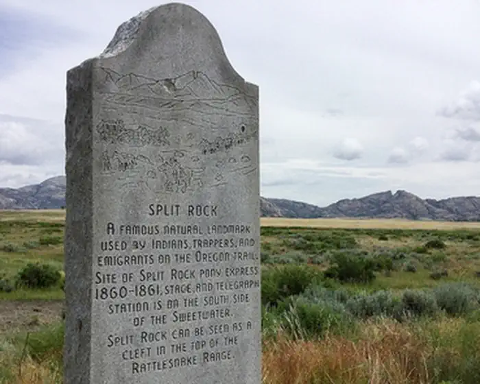
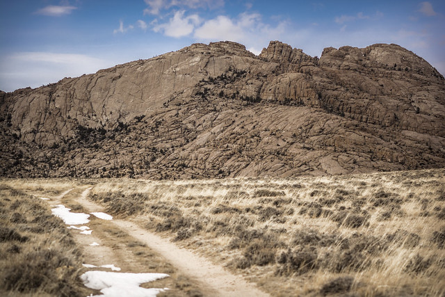
As the dominant landmark of the Sweetwater Valley, the unmistakable "gun sight" notch in the summit of Split Rock aimed the emigrants directly at Great South Pass, still more than 75 miles to the west. A BLM interpretive site is at this location.
A second highway turn-out a few miles west offers a better (although reverse) view of the "split" and also a look at the Old Castle, a smaller landmark south of the Trail and highway.
The site has restrooms, trash collection and the hard-surfaced interpretive trail is ADA accessible.
Photos
Accessibility Description (ABA/ADA)
This site has spotty cellphone reception and no potable water.
The site is 0.7 miles off Highway US 287/WYO 789. The access road from the highway leads to a recently resurfaced concrete parking lot with room for more than 20 cars.
In the southeast corner of the parking lot, a concrete sidewalk connects the parking lot to a double vault toilet.
There is 1 bear-resistant trash can on the sidewalk next to the toilet, and several others in the parking area. These trash cans have latches that may be challenging to use for visitors with limited dexterity.
From the north end of the parking lot, a paved, 300-foot-long trail leads to an overlook. This out-and-back trail is about 6 feet wide, with angled interpretive signs at the start of the trail and at the overlook. The signs, which are viewable from a sitting position, provide details about the history of the trail and the surrounding area. There are no benches along the trail.
Portions of the trail have cracks have been partially filled with tar, creating uneven surfaces that could pose challenges for some visitors, depending on their mobility device and the current condition of the cracks.
A narrow trail through rocky, uneven terrain near the toilet leads to several picnic tables that are not considered to be accessible.
Descriptions and photos uploaded November 2026. Please note that actual on-the-ground conditions may vary due to natural events (e.g., weather, wildfires, erosion), normal wear and tear, or site improvements.
SPLIT ROCK AND LANKIN DOME WSA PHOTOS
BLM WYOMING KNOW BEFORE YOU GO
Contact Us

Activities


Addresses
Geographic Coordinates
Directions
From Jeffrey City, travel east on US Highway 287 approximately 18 miles and turn north following highway signs.