John Day River Day Use Permits | Oregon

The John Day is the second longest free-flowing river in the continental United States and the longest undammed tributary of the Columbia.

Photos

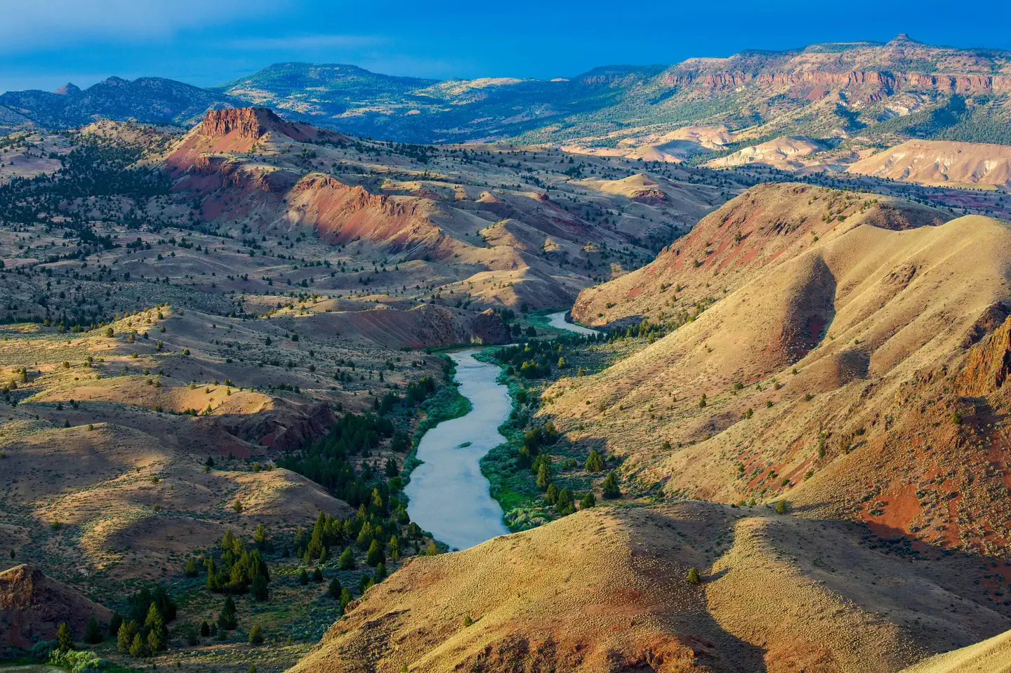
The river passes in front of a large butte with horizontal layers of tan, white and red soils. The river passes in front of a large butte with horizontal layers of tan, white and red soils. Bob Wick/BLM
Sunset near Priest Hole Sunset near Priest Hole Bob Wick/BLM
Geology along John Day River Geology along John Day River Bob Wick/BLM
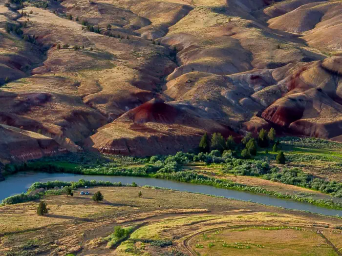
The John Day River winding through red and yellow clay hills The John Day River winding through red and yellow clay hills Bob Wick/BLM
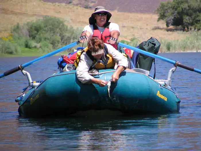
Fishing on the John Day River Fishing on the John Day River Patrick Kollodge/BLM
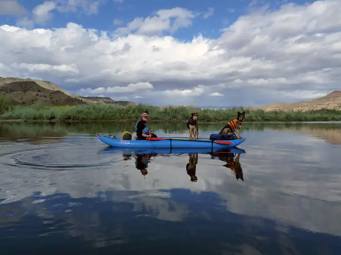
Kayaker and two dogs boat a calm section of river Kayaker and two dogs boat a calm section of river Hummel/BLM

Contact Us

This site is managed by Prineville District Office; visit their page for office hours and directions.
Adventure is at Your Fingertips

Addresses

3050 NE 3rd Street
Prineville
Oregon
99754

Geographic Coordinates

44.30264986, -120.81083333

Fees

$10 per trip up to 16 people during high season (May 1–July 15 from Service Creek to Tumwater Falls and Sep 1–Nov 30 from Cottonwood to Tumwater Falls). No use fee during low season. Rec.gov accrues a $6 transaction fee for both high season and low season permits.