


Gold Belt Tour Back Country Byway | Colorado


- 4-wheel drive and UTV/ATV

The Gold Belt Tour Scenic and Historic Byway carries travelers through 131 miles of Colorado's legendary gold rush country, linking historic mining towns with cliff-hugging canyon roads and high-country vistas. Along the way, rugged terrain gives way to sweeping views of Pikes Peak and the wild backcountry beyond. One of Colorado's first five state byways and a National Scenic Byway since 2000, the Gold Belt Tour is a journey through the region's mining heritage as much as its landscape.
Byway Details
In the early 1890s, the mining towns in the shadow of Pikes Peak enjoyed the greatest gold boom the state has ever known. This 131-mile circuit tours historic Cripple Creek, Florence, Cañon City, Florissant, McCourt, Adelaide, Wilbur, Victor, and other former gold camps. The roads are narrow and rugged in places — one stretch of Shelf Road clings to a canyon wall 200 feet above the stream bed — leading travelers past the unspoiled Beaver Creek Wilderness Study Area and the spectacular Royal Gorge. Two significant fossil areas, Florissant Fossil Beds National Monument and the Garden Park Dinosaur Fossil Area, lie along the route.
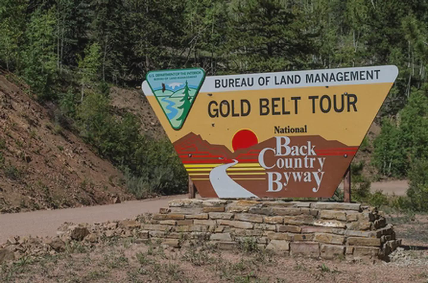
The Gold Belt Tour was designated by the State of Colorado in September 1989 as one of the first five byways in the new Colorado Byway system, then designated a National Scenic Byway by the U.S. Secretary of Transportation in 2000. It is a Type III BLM Back Country Byway, reflecting its mix of paved and unpaved historic routes generally passable by passenger vehicles, with caution advised in certain sections.
Features and Amenities
- Historic gold camps and ghost towns
- Shelf Road and Phantom Canyon Road
- Designated overlooks
- Access to fossil sites: Florissant Fossil Beds & Garden Park
- Recreational opportunities: camping, hiking, fishing, rafting
- Beaver Wilderness Study Area
- Scenic drives with mountain views, canyons, and meadows
Byway Designation
The Gold Belt Tour Scenic and Historic Byway is a Type III BLM Back Country Byway, as designated in 1989. The classification reflects its mix of paved and unpaved historic routes, which are generally passable by passenger vehicles, but in certain sections caution is advised. The byway has not changed since its original designation and continues to be managed by the Royal Field Office.
Photos


Contact Us
Activities


Directions
The Byway is located just 1 hour from Colorado Springs or Pueblo, Colorado. From the north, it can be reached from U.S. Highway 24; the southern end can be reached from U.S. Highway 50.